The FarmLens Team
Agronomists, data scientists, and engineers united to digitize African agriculture and empower smallholders.
Digitizing African Agriculture
FarmLens unifies GIS suitability mapping, a 53-crop database, and AgriCore Hubs that automate irrigation & fertigation. Each Hub covers ~2 acres and is leased at KES 3,000/month. Results on this page are projected estimates when using the platform; actuals vary by context.
Farmers
Pick the right crop, map fit, automate watering & nutrients, and track outcomes.
Researchers
Field data streams + geospatial layers for reproducible trials and insights.
Investors
Unit economics per Hub, recurring leases, and scalable SaaS analytics.
Partners
Work with counties, co-ops and NGOs to extend precision ag to smallholders.

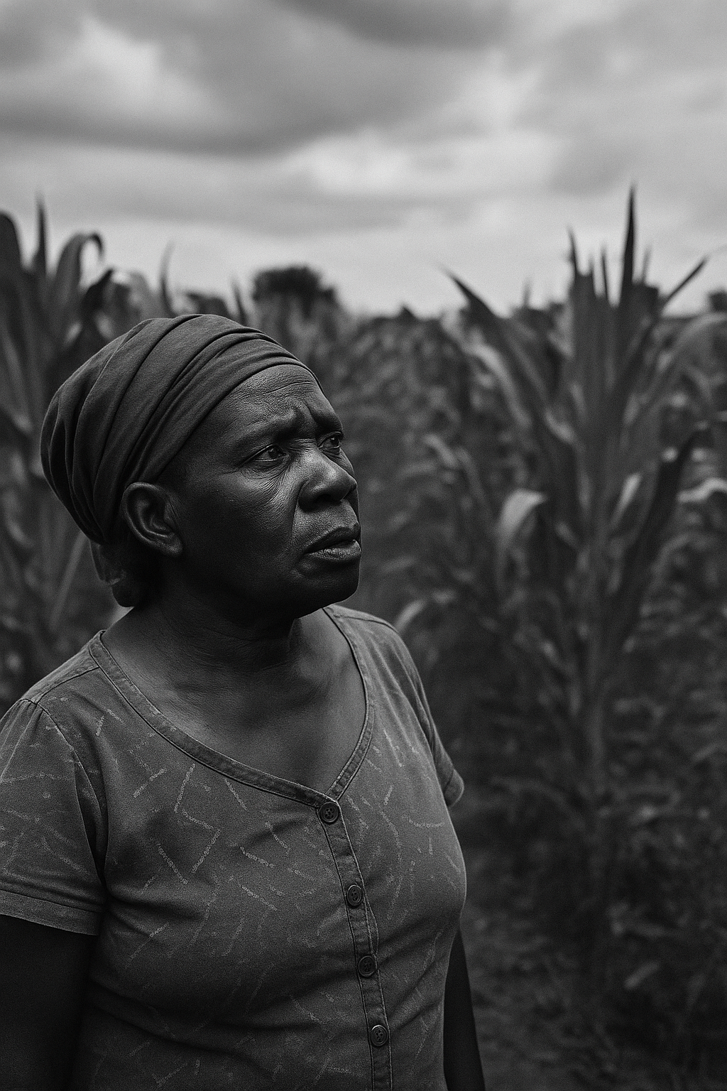
"If I had eyes in the soil, I'd save time and money."
— Mama Achieng', KakamegaFrom Inspiration to Innovation
Mama Achieng’s plea became our spark. We listened to 100+ smallholders and committed to affordable, site-specific insights.
Today we’re building Africa’s most comprehensive agricultural intelligence platform across GIS, Crop DB and AgriCore automation.
Our Core Values
Farmer-First Approach
Designed with smallholder needs at the center
Sustainable Innovation
Higher productivity while protecting the environment
Data-Driven Decisions
Turning intuition into precise, actionable intelligence
*Projected estimates when using FarmLens; actual results vary.
The FarmLens Ecosystem
Geospatial intelligence + Crop DB (53 crops) + AgriCore automation (Hub ≈ 2 acres; KES 3,000/month) — managed in one dashboard.
GIS Mapping System
Precision suitability mapping to place each crop where it performs best.
Key Features:
- Topography & drainage
- Soil classification
- Climate overlays
- Field polygons & exports
Crop Database (53)
Local calendars, pests, and fertilizer guidance across 53 commonly grown crops.
Key Features:
- Suitability matching
- Stage-based care
- Pest & disease tips
- Fertilizer recipes
AgriCore Hub
Automates irrigation & fertigation; covers about 2 acres per unit.
Key Features:
- Moisture thresholds
- Nutrient dosing
- Environmental monitoring
- Cloud + SMS alerts
Farming Assistant (Future)
Robotics roadmap for targeted tasks and data collection.
Key Features:
- Autonomous navigation
- Micro-tending
- Edge AI
- Telemetry
Analytics Dashboard
Track inputs, yields and margins; benchmark seasons & fields.
Key Features:
- Realtime charts
- Input usage
- Yield forecasts*
- ROI snapshots*
*Estimates/projections within the app.
Zao Link Marketplace (Planned)
Connect to buyers, inputs and finance partners.
Key Features:
- Buyer matching
- Input offers
- Equipment leasing
- Financial services
Transforming Value for Farmers & Investors
For Farmers
Precision decisions, fewer inputs, better margins*
Increased Yields
20–40% uplift (projected) via fit + automation
Reduced Input Costs
30–50% savings on water/fertilizer (projected)
Risk Mitigation
Pest & weather alerts; season planning
For Investors
Recurring leases + SaaS + defensible data moats
Scalable Unit Model
Hub ≈ 2 acres at KES 3,000/month per unit
Expansion Ready
County partnerships, co-ops, NGOs
Valuable Data Asset
Proprietary agronomic & geospatial datasets
*All performance and savings figures are projected estimates based on platform usage.
Our Strategic Roadmap
From GIS and Crop DB to fully automated farming ecosystems.
GIS System & Crop Database
• Geospatial mapping & suitability
• Crop DB: 53 core crops + varieties
• Soil & land classification
• Farmer analytics dashboard
AgriCore Hub MVP
• Auto-irrigation & fertigation (Hub ≈ 2 acres)
• Sensors + SMS/app alerts
• Lease per Hub: KES 3,000/month
• Pilots with county partners
Farming Assistant & Zao Link
• Robotics for micro-tending & data
• Marketplace launch & integrations
• Regional expansion


